Now I will stand in the rain on the corner, watch the people go shuffling downtown. Another ten minutes no longer, then I'm turning around.
Turns out my wife is the brains behind this outfit. (What?! You already knew that? Why am I always the last to know these things?)
Yesterday, we had plans for a big hike from Hyalite Reservoir 2000 feet up Hyalite Creek Canyon to Hyalite Lake. When we woke up it was raining and generally shitty out. India started unpacking things, while I sat at the computer, obsessively refreshing multiple weather.com windows, checking doppler, satellite, and forecasts, attempting to bend the weather to my will. Hey, laugh if you will, but Richard Pryor used computers to control the weather in Superman 3.
After focusing my mind powers on the Southwestern Montana weather system, I yelled, "INDIA! The sky turned from black to light grey! Let's go!!"
Utilizing her superior brainpower, she deduced that it might not be a good idea, and said, "Um, you go ahead. I am staying here."
Casting an eye upward, I quickly threw together a pack with a gore-tex jacket, cheese and crackers, beef jerky, my water pump, a nalgene bottle, and my leatherman...in case I needed to amputate my arm like Aaron Ralston. (If you don't know that story, Google it. He was hiking alone in a slot canyon in Utah, and a boulder shifted, trapping his arm between the boulder and the wall. After a day or two of talking into his camcorder, drinking his own piss and despairing, he pulled out his leatherman and cut off his hand & part of his arm and walked out of the canyon.)
As I was heading out, wearing basketball shorts, smartwool socks, boots and a moisture wicking t-shirt, I noticed that the Hyalite Peak was covered in clouds. "Oh, it'll clear up," I thought. But I did head back in and grab a set of thermal underwear, a hat and gloves.
The 34,000 acre Hyalite Drainage is about a 25-30 minute drive south of my house, 10 minutes of which is spent crossing most of the city of Bozeman. It is a beautiful mountain valley, surrounded by 10,000 foot peaks. There is a large reservoir in the valley that provides drinking water for the city of Bozeman and irrigation for the Gallatin Valley.
Here are some pictures of the reservoir:
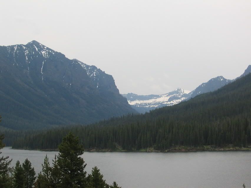
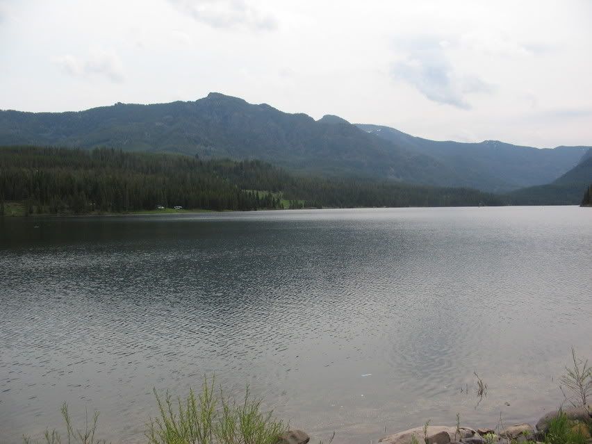
*Note the optimistically gray-leaning-toward-white-practially-"partly cloudy" skies.
*Note that white stuff up in the mountains. That is snow.
*Note these asteriks, they are called "foreshadowing."
I skirted the east side of the reservoir until the pavement ended, and continued down a gravel road to the trailhead.
You can see Palace Butte in the background:
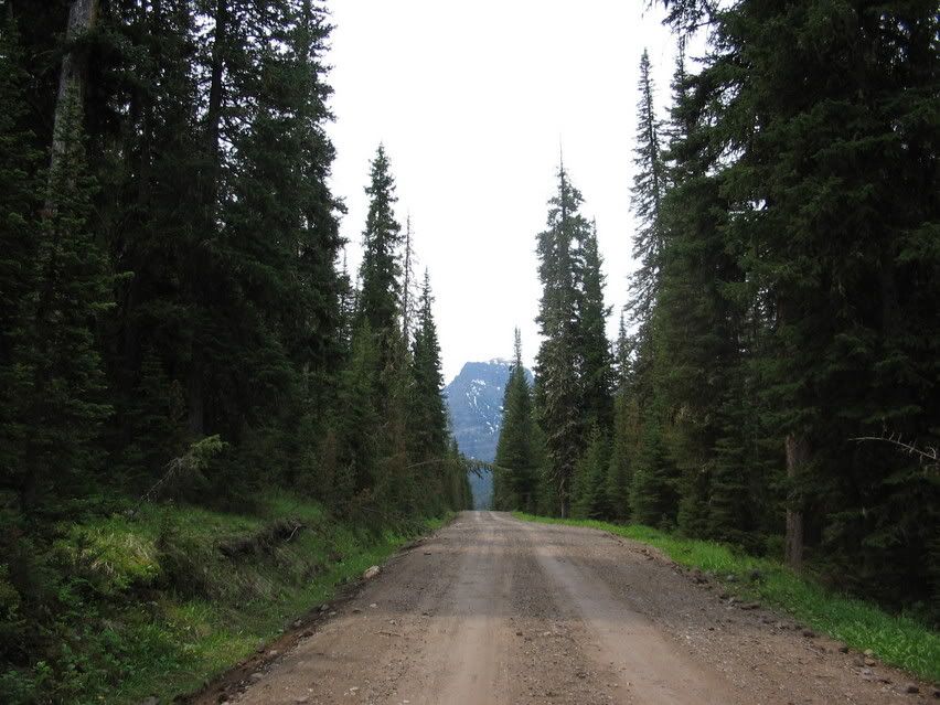
I parked and headed up the trail. That is Flanders Mountain. Howdly-doodly-doo.
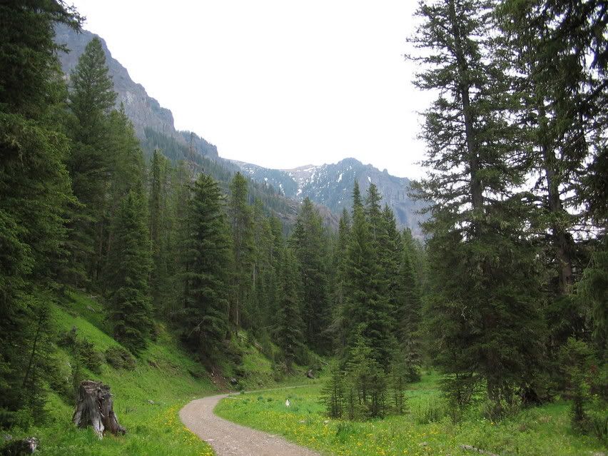
Looks like it's clearing right up, doesn't it?
As I climbed, I passed a bunch of stunning vistas and waterfalls:
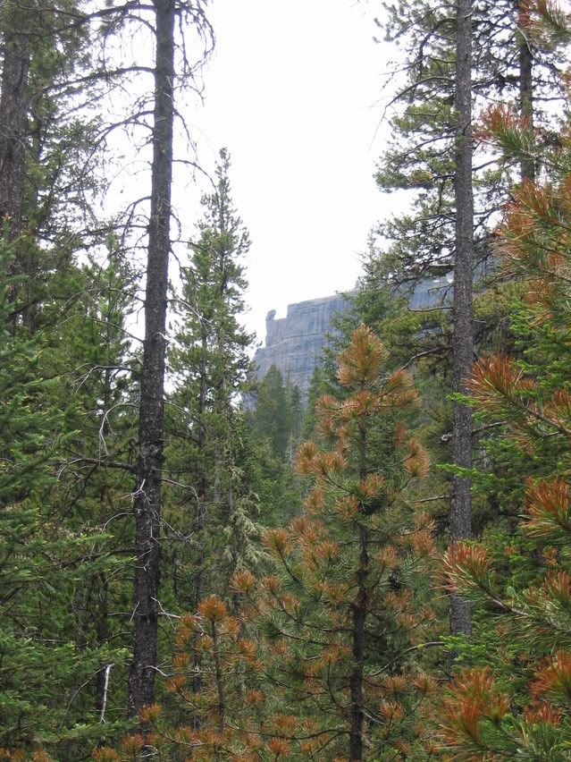
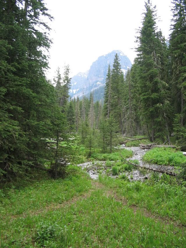
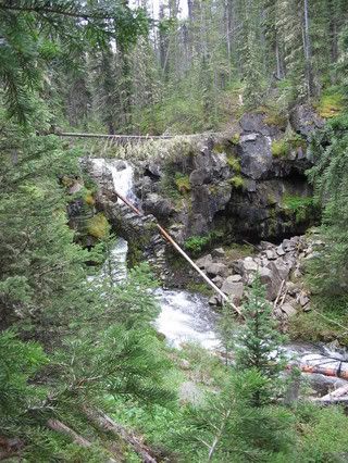
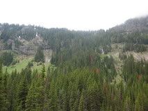
Southwestern Montana has experienced a lot of snow and rain this spring, which causes streams to swell.
This was the first hairy stream crossing I had to make:
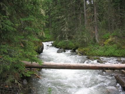
I started to notice patches of snow as I reached the three mile mark. This is part of Shower Falls. It continues below the picture, but there was no way I could get it all in one shot without risking life and limb. (Although I did bring the leatherman, so I was prepared to shed a limb, if necessary.)
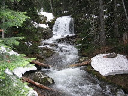
By the time I hit four miles, the trail was covered, and I was walking in snow. I began to sink to my knees, so I stopped and put on my thermals under my shorts, and bushwhacked around the snow as best I could.
Here is what the trail looked like. There is a little wooden bridge there...
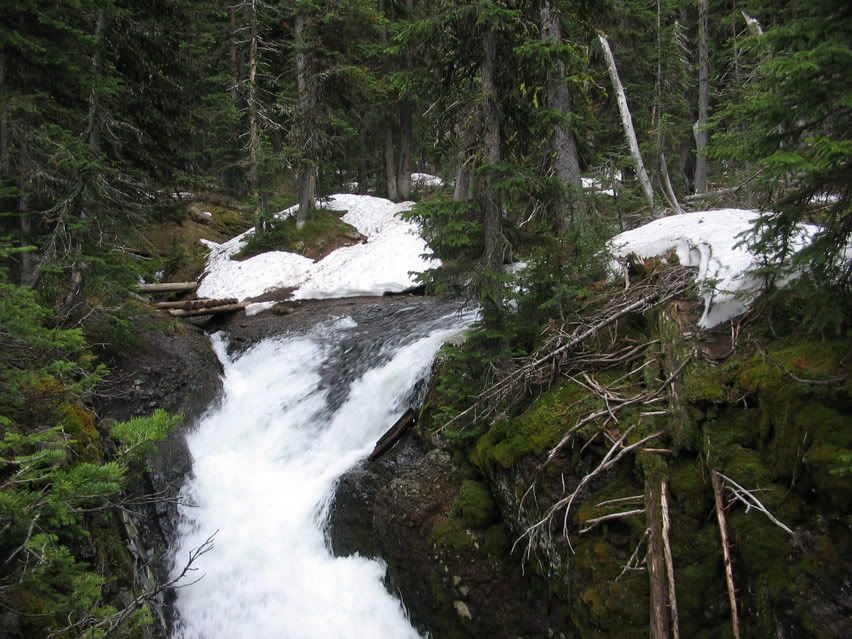
I kept going, because I'll be damned if I don't finish something I start. After all, there is a gorgeous mountain lake at the top of this trail.
Then, about mile 5, probably 1700 feet above where my car was parked, the trail looked like this:
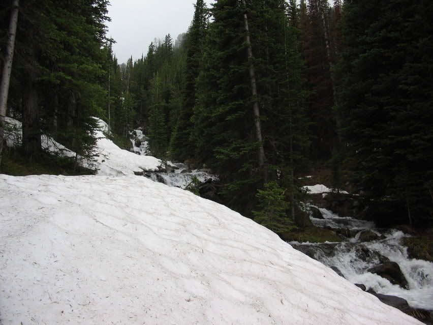
But, damn it, I forged ahead. Oh, did I mention it was now raining? Not bad. Beyond a "sprinkle," and into an official "rain."
Then I came to this log bridge.
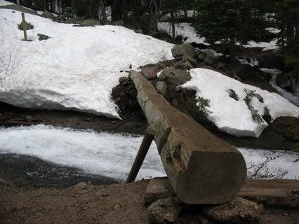
The picture doesn't do it justice. The log was slick, and it crossed a raging, beautiful, waterfall. It was about 6 or 7 feet abbove the water, and if you fell, you would tumble quite a ways in ice-cold water. Oh, the log also was canting about 15 degrees to starboard. The reason you cannot view a picture of the waterfall is because I crossed that bridge on my hands and knees. I couldn't spare a hand to take a picture.
After I crossed that bridge, thunder started booming, and rain and hail began to pelt my head.
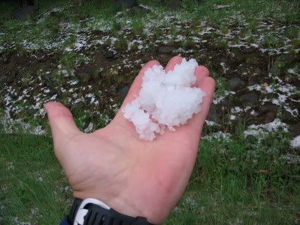
As Karl Spackler said, "I don't think the rough stuff is gonna come down for quite some time."
I took shelter under a pine tree and ate my cheese and crackers. I considered amputating my arm, but opted top eat my beef jerky instead. Same ballpark. I also managed to refrain from consuming my own urine. Barely.
Thunder boomed, lightning cracked, and I decided I would turn back short of my goal. I slogged through the snow, crawled across the bridge, and then it really started coming down. The trail I had hiked up was now a small stream/waterfall.
I made it down, very, very wet.
I took off my boots and guess what was inside?
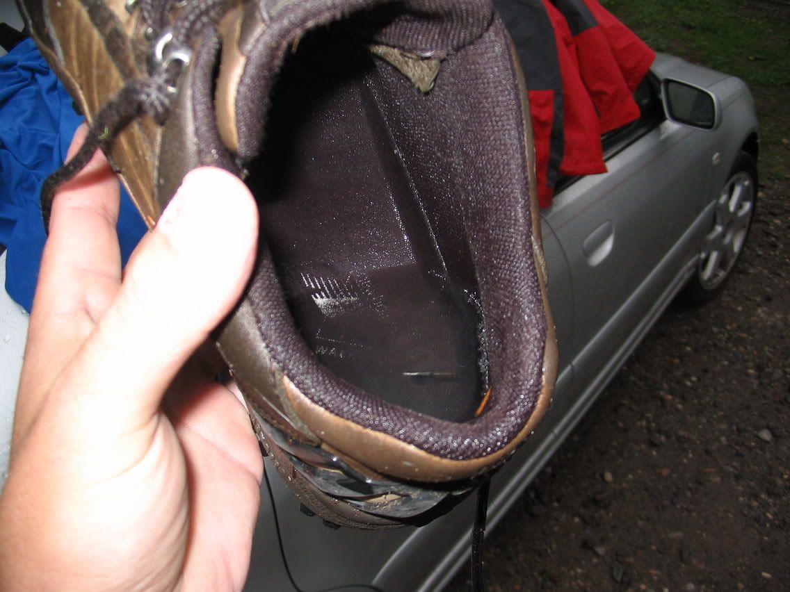
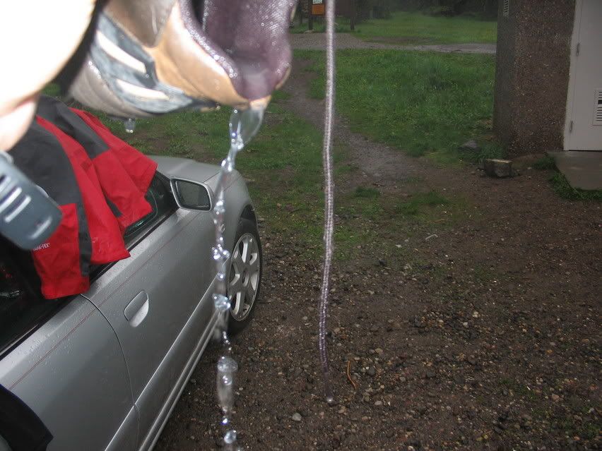
I was wondering why I heard a sloshing with each step.
"How was the hike, honey?"
"Oh, great."
Yesterday, we had plans for a big hike from Hyalite Reservoir 2000 feet up Hyalite Creek Canyon to Hyalite Lake. When we woke up it was raining and generally shitty out. India started unpacking things, while I sat at the computer, obsessively refreshing multiple weather.com windows, checking doppler, satellite, and forecasts, attempting to bend the weather to my will. Hey, laugh if you will, but Richard Pryor used computers to control the weather in Superman 3.
After focusing my mind powers on the Southwestern Montana weather system, I yelled, "INDIA! The sky turned from black to light grey! Let's go!!"
Utilizing her superior brainpower, she deduced that it might not be a good idea, and said, "Um, you go ahead. I am staying here."
Casting an eye upward, I quickly threw together a pack with a gore-tex jacket, cheese and crackers, beef jerky, my water pump, a nalgene bottle, and my leatherman...in case I needed to amputate my arm like Aaron Ralston. (If you don't know that story, Google it. He was hiking alone in a slot canyon in Utah, and a boulder shifted, trapping his arm between the boulder and the wall. After a day or two of talking into his camcorder, drinking his own piss and despairing, he pulled out his leatherman and cut off his hand & part of his arm and walked out of the canyon.)
As I was heading out, wearing basketball shorts, smartwool socks, boots and a moisture wicking t-shirt, I noticed that the Hyalite Peak was covered in clouds. "Oh, it'll clear up," I thought. But I did head back in and grab a set of thermal underwear, a hat and gloves.
The 34,000 acre Hyalite Drainage is about a 25-30 minute drive south of my house, 10 minutes of which is spent crossing most of the city of Bozeman. It is a beautiful mountain valley, surrounded by 10,000 foot peaks. There is a large reservoir in the valley that provides drinking water for the city of Bozeman and irrigation for the Gallatin Valley.
Here are some pictures of the reservoir:


*Note the optimistically gray-leaning-toward-white-practially-"partly cloudy" skies.
*Note that white stuff up in the mountains. That is snow.
*Note these asteriks, they are called "foreshadowing."
I skirted the east side of the reservoir until the pavement ended, and continued down a gravel road to the trailhead.
You can see Palace Butte in the background:

I parked and headed up the trail. That is Flanders Mountain. Howdly-doodly-doo.

Looks like it's clearing right up, doesn't it?
As I climbed, I passed a bunch of stunning vistas and waterfalls:


Southwestern Montana has experienced a lot of snow and rain this spring, which causes streams to swell.
This was the first hairy stream crossing I had to make:

I started to notice patches of snow as I reached the three mile mark. This is part of Shower Falls. It continues below the picture, but there was no way I could get it all in one shot without risking life and limb. (Although I did bring the leatherman, so I was prepared to shed a limb, if necessary.)

By the time I hit four miles, the trail was covered, and I was walking in snow. I began to sink to my knees, so I stopped and put on my thermals under my shorts, and bushwhacked around the snow as best I could.
Here is what the trail looked like. There is a little wooden bridge there...

I kept going, because I'll be damned if I don't finish something I start. After all, there is a gorgeous mountain lake at the top of this trail.
Then, about mile 5, probably 1700 feet above where my car was parked, the trail looked like this:

But, damn it, I forged ahead. Oh, did I mention it was now raining? Not bad. Beyond a "sprinkle," and into an official "rain."
Then I came to this log bridge.

The picture doesn't do it justice. The log was slick, and it crossed a raging, beautiful, waterfall. It was about 6 or 7 feet abbove the water, and if you fell, you would tumble quite a ways in ice-cold water. Oh, the log also was canting about 15 degrees to starboard. The reason you cannot view a picture of the waterfall is because I crossed that bridge on my hands and knees. I couldn't spare a hand to take a picture.
After I crossed that bridge, thunder started booming, and rain and hail began to pelt my head.

As Karl Spackler said, "I don't think the rough stuff is gonna come down for quite some time."
I took shelter under a pine tree and ate my cheese and crackers. I considered amputating my arm, but opted top eat my beef jerky instead. Same ballpark. I also managed to refrain from consuming my own urine. Barely.
Thunder boomed, lightning cracked, and I decided I would turn back short of my goal. I slogged through the snow, crawled across the bridge, and then it really started coming down. The trail I had hiked up was now a small stream/waterfall.
I made it down, very, very wet.
I took off my boots and guess what was inside?


I was wondering why I heard a sloshing with each step.
"How was the hike, honey?"
"Oh, great."
